Happy Easter from Airbuzz.One!
Today is Easter Saturday, or ‘Påskeaften’, as we say in Norwegian. I have used my drone a lot this Easter. Perfect weather with blue skies, magical sunsets and awesome landscapes.
The temperature range of almost -20 Celsius degrees at night and around -5 daytime is a bit too cold for the Mavic Pro drone, but it has handled it very well. No problems and no complaints. The air is dry which is crucial for flying on cold days.
Watch a video compilation of drone video clips from this easter in 4K further down the article!
Last post: DJI Mavic Pro Wallpaper! Free download.
My big problem right now is that I might have found out that the remote area I have flown in is restricted… but I don’t know how to find out for sure.
First a little introduction to Norwegian drone rules:
The Norwegian drone rules
The few drone rules we have in Norway are fairly simple and easy to understand. I will write an extensive post on this topic later on.
To keep it short, here are the 5 main rules:
- Do not fly more than 120 meters above the ground.
- Keep distance from airports: Do not fly closer than 5 km unless otherwise agreed.
- You should always be able to see the drone. Never fly near accident sites.
- Keep a distance of 150 meters from people, buildings, and traffic. Applies to traffic on roads, on the sea, and in the air. Do not fly over festivals, military areas or sporting events.
- Take into account the privacy of others. Remember the rules for using photo and video of other people.
However, there are situations when you doubt that the rules apply or not.
Concerns about illegal flights
I thought the area I have flown in was ok. Far away from people and properties. I know that Rondane National Park (Rondane Nasjonalpark) is a forbidden area for drones, but all my pictures are taken outside that area, even if I’m looking towards the park.
The DJI Go 4 app on my phone has an own Geo Zones map section you can check whether they are is safe or not. Airports and other areas are clearly mapped out, but this area stays clear. The problem is when I checked the same area in AirMap, another app. It says that the whole area is Special Use Airspace.
Check the screenshots from the apps at the bottom of this article.
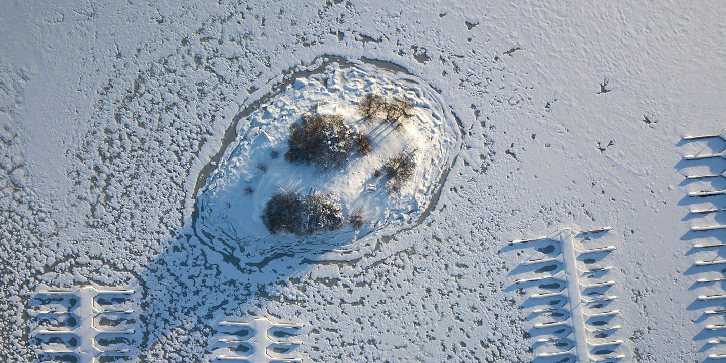
Anyway, below are some of the possible forbidden drone pictures from the last days. All of them is shot with my DJI Mavic Pro photo drone. I have not launched the drone after I found out about the possible restricted zone. This needs further investigation…
Have a great Easter! Comment below if you have any clarifications and comments on the pictures or my concerns.
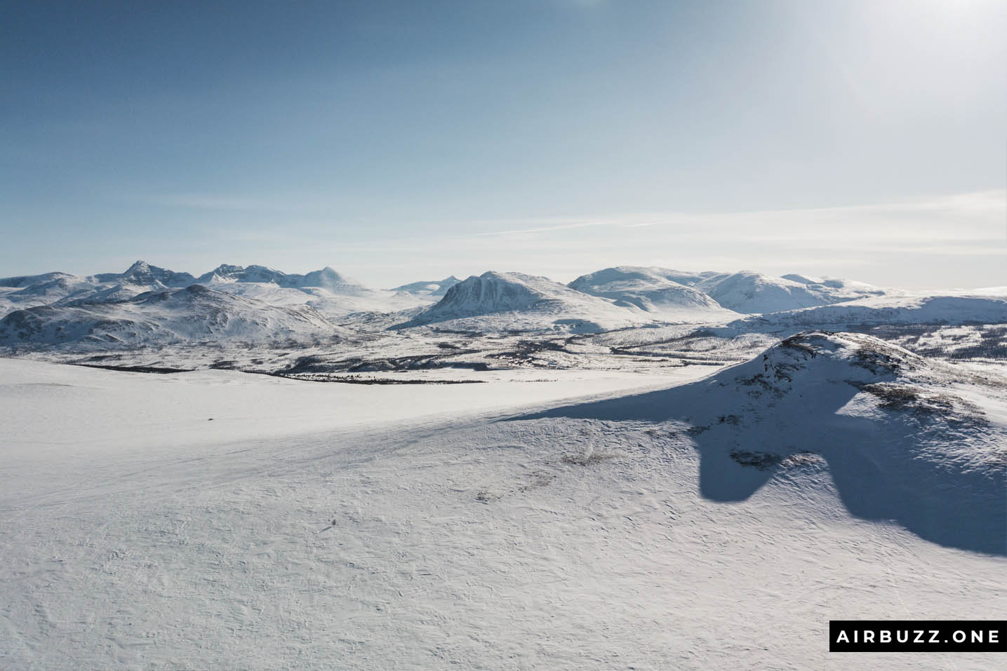
View towards Rondane National Park
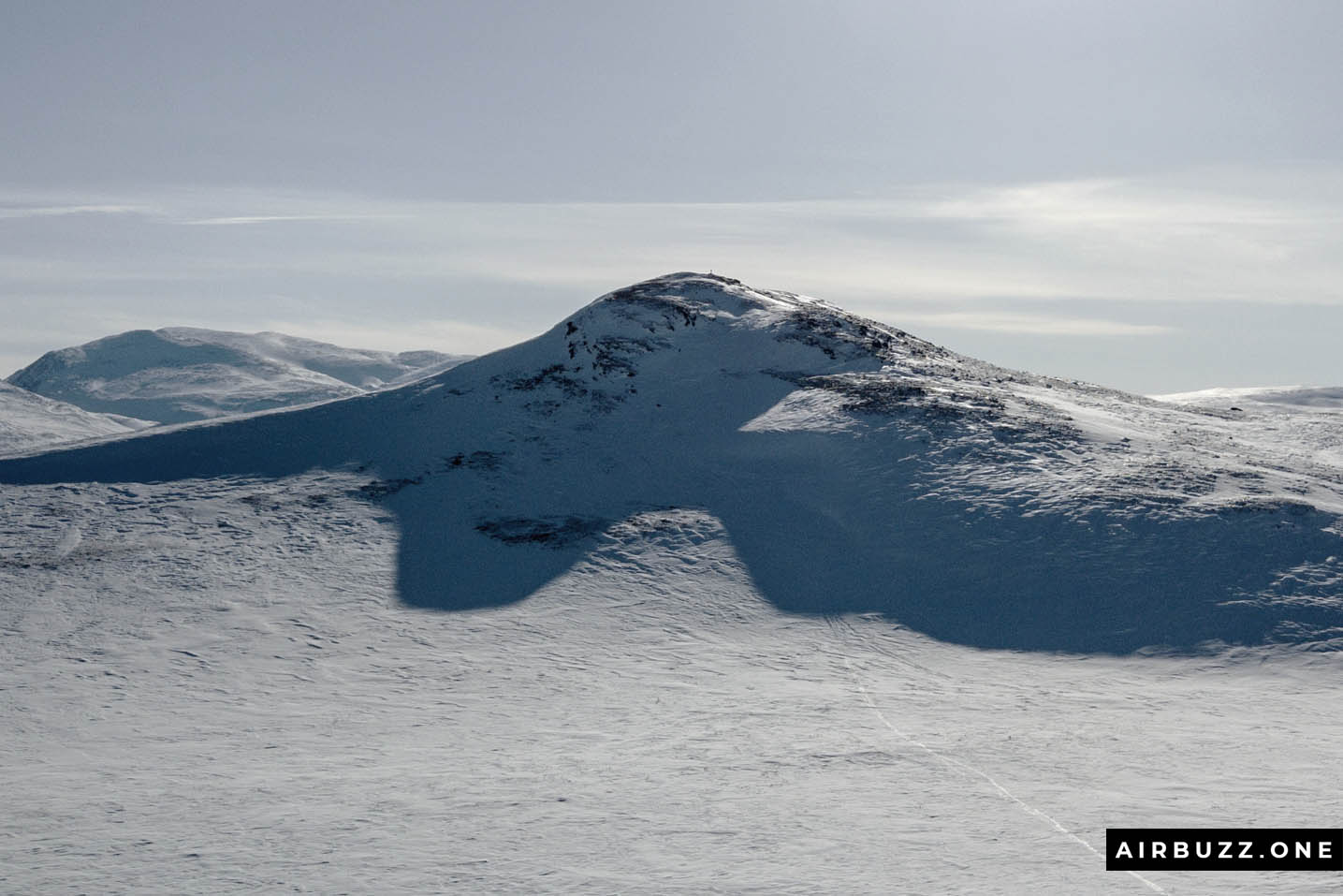
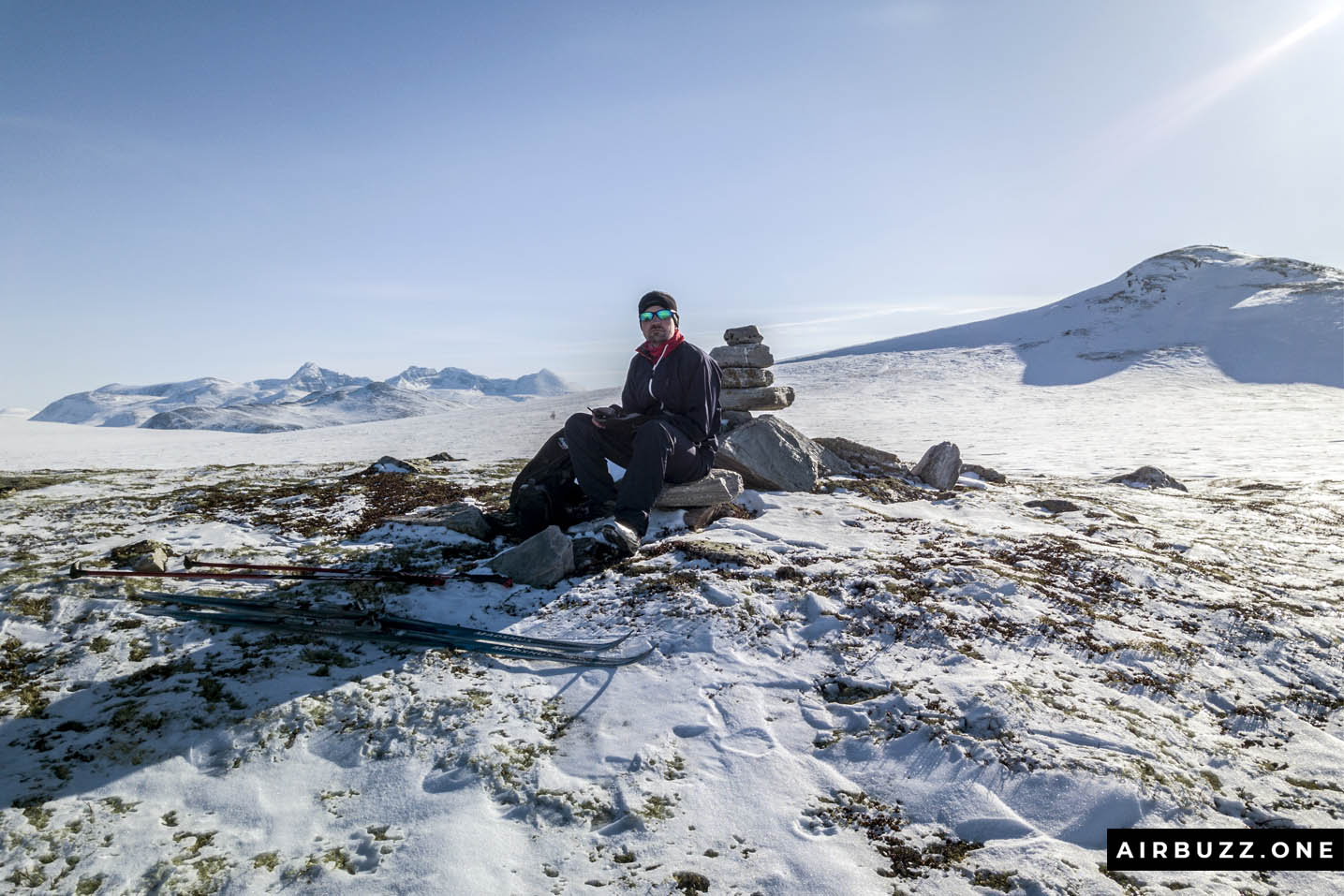
Streitkampen
Snøhetta in the distance.
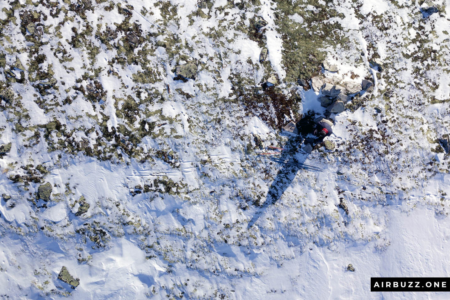
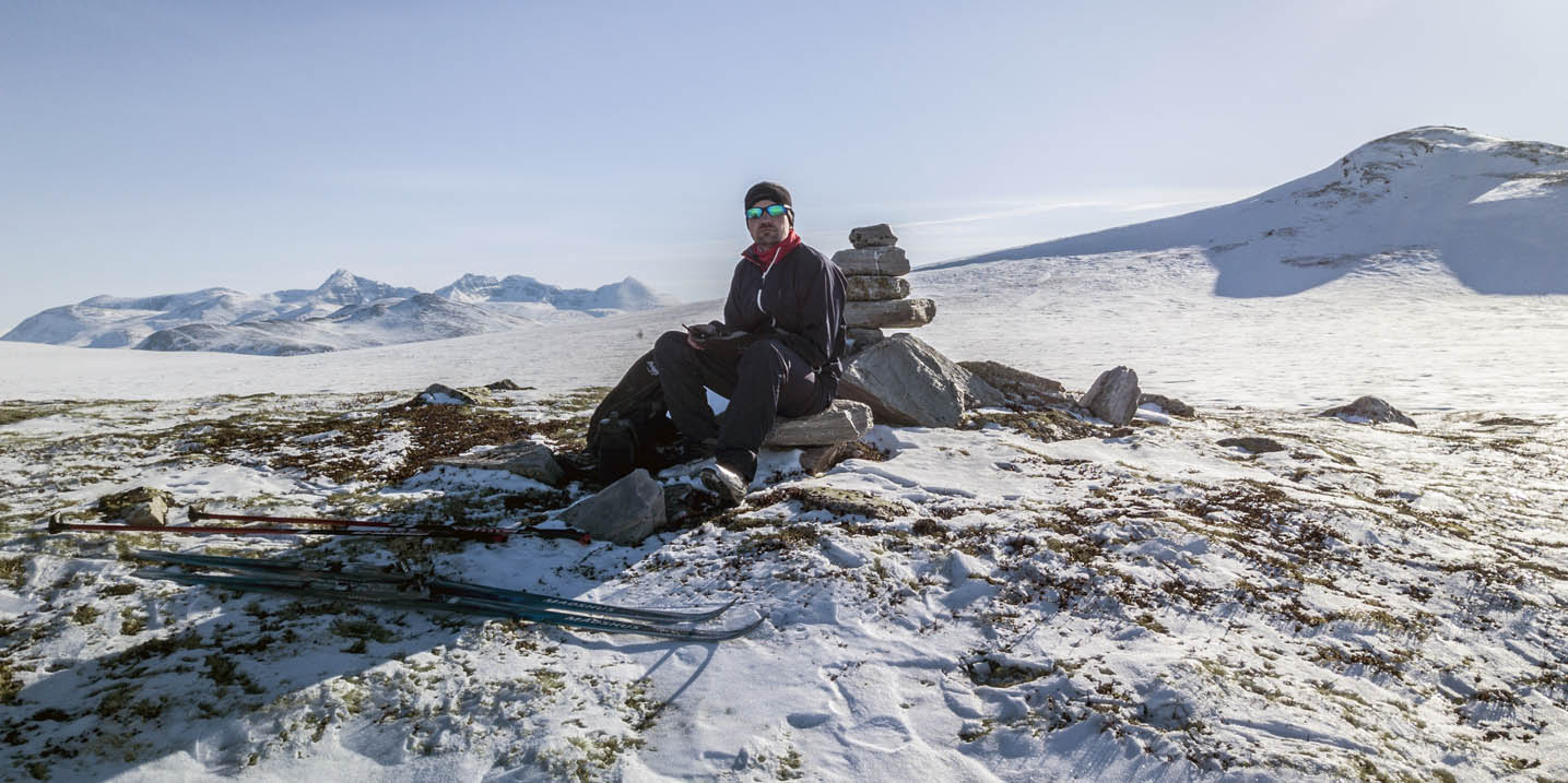
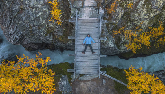
Me from above, camouflaged by rocks.
Happy Easter from Airbuzz.One!
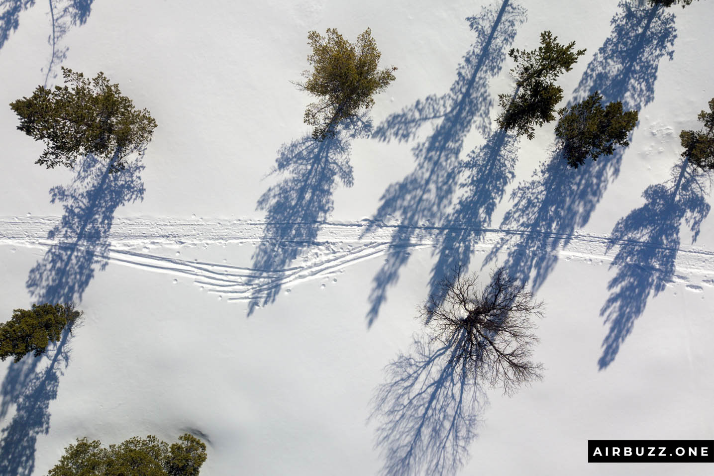
Dog sledding tracks in the forest.
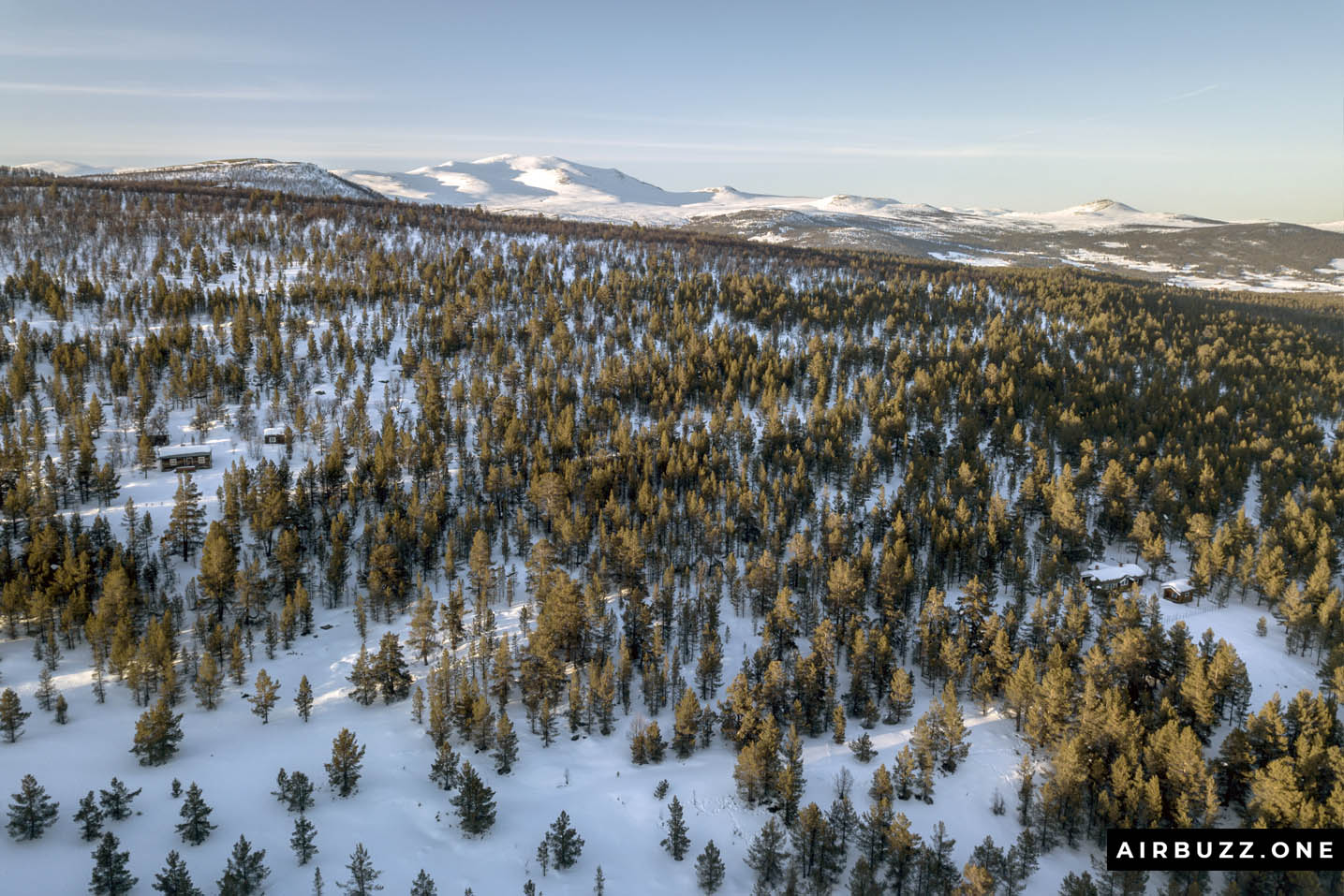
Two cabins in the woods – can you find them?
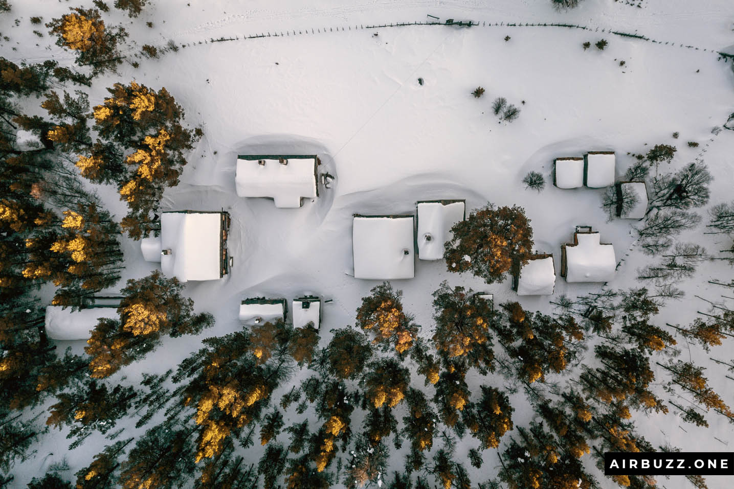
Uppigard Streitlien covered in snow.

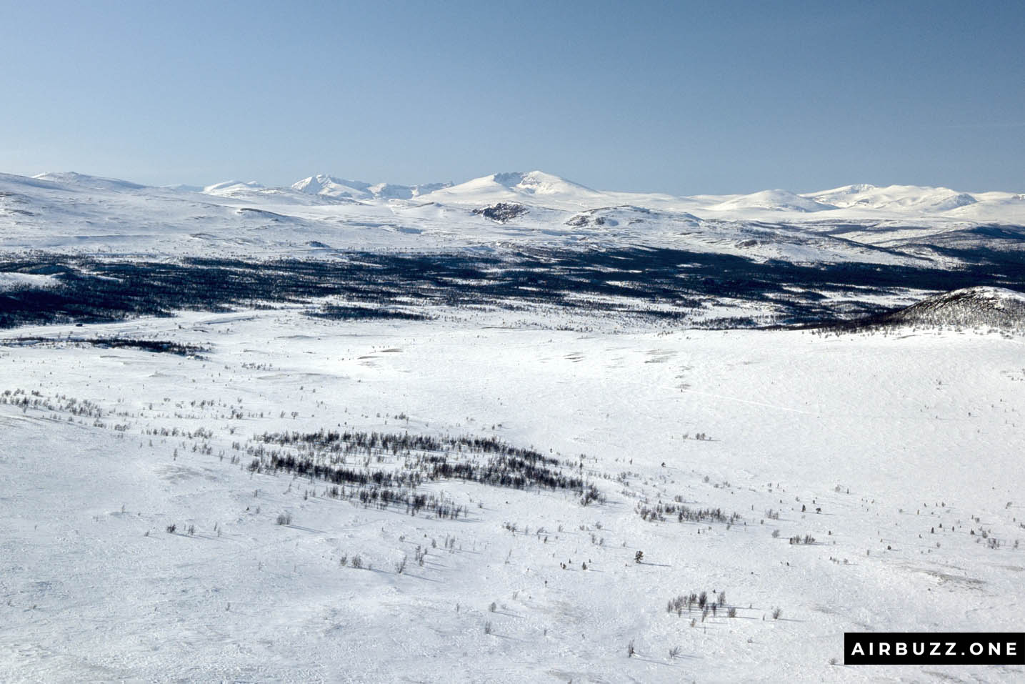
Rondane
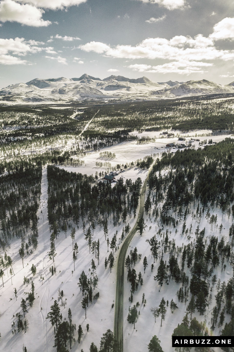
Winding road
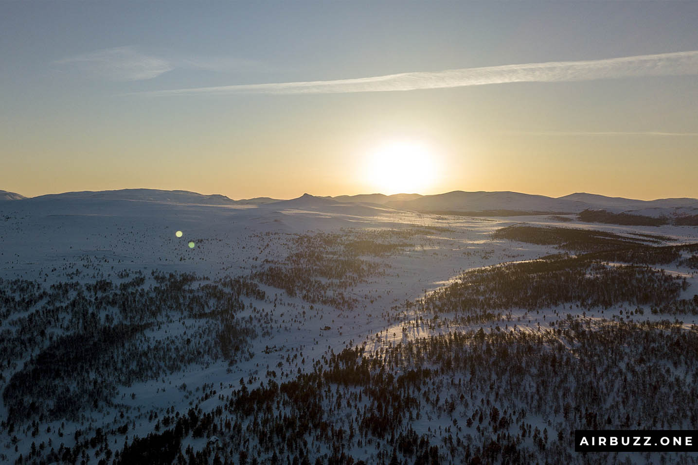
Sunset over Streitkampen
![]()
![]()
4K Drone Footage with music
Screenshots from DJI GO 4 and AirMap
Here are the promised screenshots from the apps. Am I an illegal drone pilot?
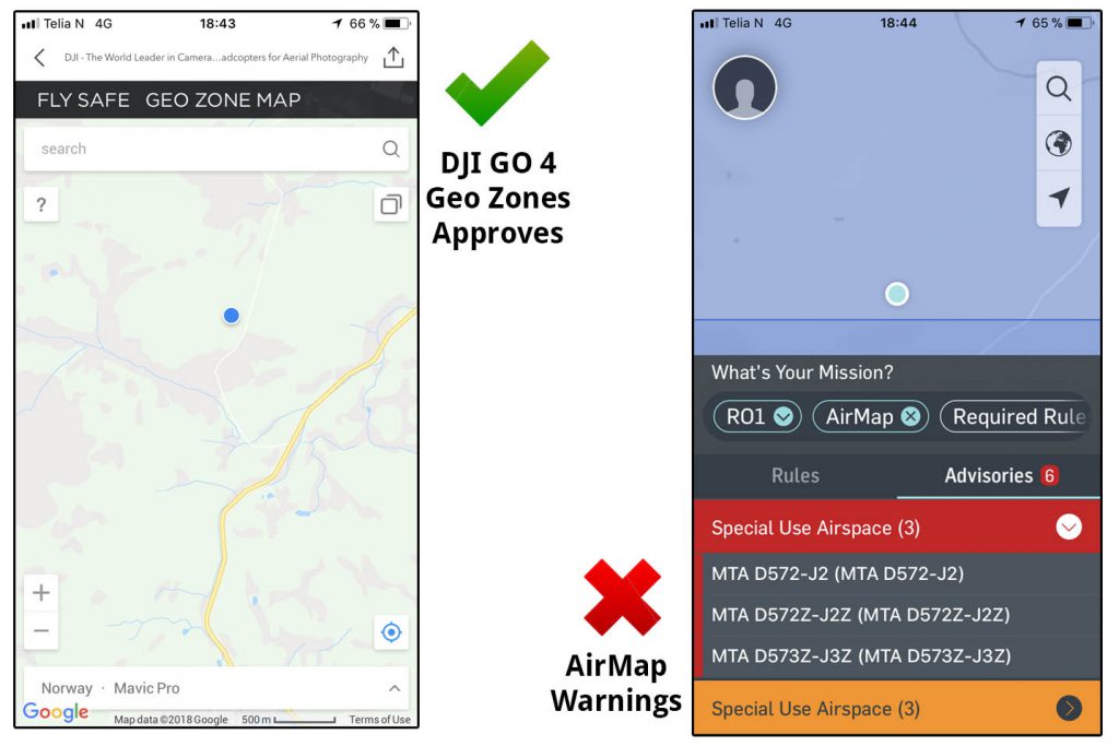
I have tried to find out what these codes mean, but I haven’t figured it out. Does it mean it is illegal to fly or is the only meant for warnings? Why doesn’t the general drone rules say anything about this? How can I find out? And what are the consequences of flying here?
Appreciate comments about this below. As I mentioned above, I have stopped flying here for the time being.
UPDATE: After asking this question in a Norwegian drone Facebook group I learned that END572 means it is a military exercise area with airplanes from controlled airspace and up to the FL660. But if I stay at the legal height of drone with a maximum of 120M AGL it is perfectly ok to fly my drone here.
I’m pretty sure there will be stricter and clearer rules in the future. Oslo has, for instance, a new no-fly zone around the center of the city. It is a perfect circular border, and I’m not sure why the zone has this exact diameter, but the kings castle is almost in the center. Cool spots like Vigelandsparken (Frognerparken) is just outside the zone.
Thanks for spreading the word about my drone website, share my drone blog content and comment on the articles.
4 Comments
I never knew drone flying was restricted in certain areas, but it makes sense. I’ll pass this on to the someone in my life that loves drones. You’ve definitely taken some very beautiful pictures of this area, and I’m glad for you that you can continue to do so! Happy late Easter to you too 🙂
Thanks for the comment, Avareth! I later found out that even if the area is restricted it is allowed to fly drones if I stick to the height regulations of maximum 120 meters. Andreas
I am interested in buying a drone. I had no idea that there are rules and regulations. Or that it was possible to make illegal flights.
Thank you for making me aware of these issues. And for the amazing photos. Also do you think the DJI Mavic Pro photo drone would be suitable for taking photos of golf courses?
Hi! All countries have their own rules. I think it is actually a good idea to regulate private drone flying a bit because of the possible dangers and that some people seems to not taking that seriously. I found a great site that explain the different droning rules in most countries.
The Mavic Pro will be perfect for taking photos of golf courses! Andreas